
South Whitehall Street Directory Walkthrough
Start with the complete address exactly as it appears on a bill, deed, or other record. A postal Allentown label does not establish that the place is in South Whitehall Township. First locate the address in the Lehigh County Parcel Viewer and read the municipal context. Then use the same address in Lehigh PropertySearch. Save the returned situs address and identifier before moving to another system. The result is a record trail for a place, not a list of people at that place.
- Confirm the selected parcel falls in South Whitehall Township. Keep the original address and the date of the map check.
- Search PropertySearch by address. If an exact address fails, use the County street-root and suffix conventions rather than inventing a nearby match.
- Copy the PIN and any PAR exactly as the County displays them. County instructions allow a PIN alone or a PIN and PAR separated by a space.
- Use the PIN, document number, or legal-description lead to reach the Lehigh County Clerk of Judicial Records, Recorder of Deeds access route. Inspect the actual instrument before treating an index entry as a conclusion.
- For a regulated election-record question, use PA Check Registration Status for the individual route or the official request form for an authorized list product. Neither route proves who occupies a parcel.
Each source answers a different question. The parcel map places land, PropertySearch connects County assessment fields, and the recorder preserves recorded documents. A controlled voter record has its own statutory purpose and access rules. Keeping those roles separate prevents a street search from becoming an unsupported claim about a household.
South Whitehall Street Jurisdiction
South Whitehall is a first-class township in Lehigh County, not an incorporated city. County offices are based in Allentown, and the Township municipal complex also uses an Allentown mailing address. Those facts make municipal confirmation important. A street directory search that starts with the mailing city alone can pull the wrong local-government record path.
The Parcel Viewer is the present-day check for municipality and parcel geography. USPS uses postal delivery labels, while the County map identifies parcel context. Historic village names add another layer: Guthsville, Mechanicsville, Orefield, Cetronia, and Greenawalds can appear in older sources without defining the current Township boundary. Save the source date whenever those labels matter.
Note: Use the County municipality layer for current placement and dated maps or records for historic placement.
South Whitehall Street Search Fields
PropertySearch is the County's practical front door for street-record research. Its public form has a narrow design: it offers Address, Parcel Identification (PIN), and Document ID or Instrument Number. The live form requires a CAPTCHA, accepts search text from four to thirty characters, and instructs users not to enter special characters. No owner-name control was observed in the public selector. That limit is useful because it keeps the process keyed to a place or document.
| PropertySearch or map field | Input | Available choice or limit | Address-record use |
|---|---|---|---|
| PropertySearch text | Text | 4 to 30 characters; special-character restriction | Enter an address, PIN, or document number after choosing its type. |
| Search type | Selector | Address, PIN, Document ID/Instrument Number | There is no observed public owner-name choice. |
| CAPTCHA | Verification | Required | Limits automated result collection. |
| Parcel Viewer address/place | Geocoder | Service suggestions | Find a map location, then verify the selected parcel. |
| Parcel Viewer PIN and assessment address | Text search | County parcel keys | Cross-check the map result against PropertySearch. |
Preserve the displayed PIN and PAR instead of converting them into an assumed local format. The County treats that identifier as the stable bridge among assessment, GIS, and recorder follow-up. A name, a mailing address, and a parcel identifier are different fields with different meanings.
South Whitehall Street Map Context
The Parcel Viewer supplies more than a pin on a road. Its public data configuration includes parcels, roads, municipal boundaries, subdivisions, zoning, buildings, flood information, and general mapping layers. The visible filters include land use and an exact subdivision filter. These layers help place an address within a block or a development, but they do not convert the map into a directory of residents.
Lehigh County Online Records Access is the source shown in the following Recorder access image.
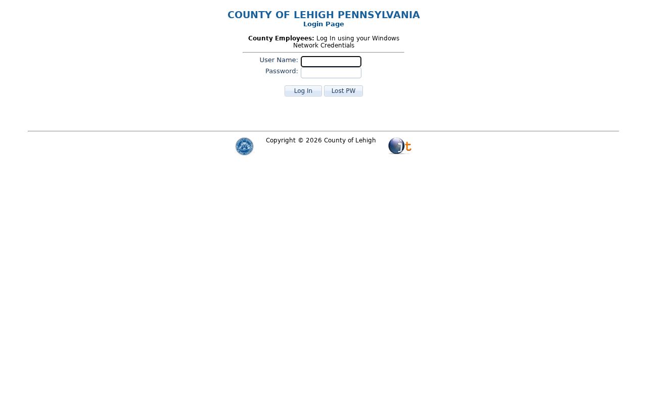
ORA is the County gateway for recorded-document systems, so it follows parcel confirmation rather than replacing it. The County describes its GIS information as reference material, not a survey or a legal boundary determination. Use a recorded document, survey information, or the appropriate office when a precise line, frontage, flood determination, or legal description matters.
South Whitehall Address Records
Address-keyed sources have distinct strengths. The County system can associate a parcel with assessment fields, while the recorder can identify recorded parties, document dates, and legal descriptions. Township materials provide planning, zoning, and permit-process context. Historical collections may explain an earlier road or village label. None of these sources is an authenticated current-occupancy record.
| Address-keyed source | Record keeper | What it can document | Access boundary |
|---|---|---|---|
| Parcel and assessment record | Lehigh County Assessment | County-associated parcel, situs, mailing, and assessment fields | PropertySearch and GIS; not proof of present residence. |
| Parcel map and layers | Lehigh County GIS | Parcel geography, roads, municipal, zoning, land-use, and subdivision context | Public reference map, not a survey. |
| Recorded land document | Clerk of Judicial Records, Recorder of Deeds | Recorded party, date, instrument, and legal-description context | ORA/LANDEX route; image and vendor access must be checked live. |
| Planning or zoning material | South Whitehall Township | Public process, project, or current zoning context | Does not prove actual use or a person's connection to a property. |
| Historical maps and directories | LCHS and related repositories | Dated road, village, or landholder context | Historical only, with collection and date limits. |
This street directory uses the address as a filing key, not an identity claim. If systems disagree, retain the source name, field, and retrieval date. Differences can reflect mailing versus situs information, recent recording, subdivision changes, or separate update schedules.
South Whitehall Recorder Trail
After parcel confirmation, a document number or exact property reference can lead to the Recorder's index. The County ORA FAQ describes LANDEX coverage from 1812 to the present and identifies Russell Index Books for 1812 through 1983. It also names older county material such as Ejectment Books, Judgment Books, naturalization records, and inheritance-tax records. Those are system-inventory leads, not a guarantee that a particular document image is available online.
Record the instrument number, recording date, document type, and the source used to view it. A recorded deed can show parties to that document and its legal-description context, but it does not establish a present household or resolve the full condition of title. The County's vendor and image-access conditions should be checked before relying on an online result or ordering a copy.
South Whitehall Planning Records
The South Whitehall Resident Resource Hub and the Township's zoning resources are the local path for municipal map and process questions. Community Development also supplies building, code, and zoning forms. A zoning label is current regulatory context, not proof of a past use, completed work, or an occupant.
A beta Land Development Viewer announced on March 16, 2026 can help locate a project lead. Confirm any lead in the agenda, staff material, plan, and final public action. The Township's 2023 disposal memorandum also addresses certain building and zoning permit categories from 2005 through 2009. Ask what was retained, transferred, or disposed of for the particular record series instead of treating an unavailable file as proof that nothing happened.
South Whitehall Historic Streets
Older address work needs period language. Search Guthsville, Mechanicsville, Orefield, Cetronia, or Greenawalds together with the Township and County when a modern address produces no match. For research before Lehigh County formed on March 6, 1812, test Northampton County as well. South Whitehall's current boundary and name should not be projected backward onto an older record.
The Lehigh County Historical Society collections list directories, maps, deeds and surveys that can support a dated place history. LCHS catalogues 1816 surveys, an 1862 map, and an 1876 atlas as useful map anchors. No official street-renumbering or road-alias crosswalk was found, so a historic-to-current match needs at least two independent anchors, such as a legal description plus a map location.
Postal verification is a separate task. Use the USPS ZIP Code Lookup with the complete address to confirm the mailing city, state, and ZIP for that address and date. A ZIP is a delivery-routing label, not municipal-boundary proof. County GIS is the proper present-day check for parcel municipality. If the USPS result, map, and assessment page differ, preserve each field and date, then check unit information, direction or suffix, road-name variants, and system update timing rather than choosing the most familiar label.
South Whitehall Township Address Terms
Use the County's labels carefully when saving a South Whitehall Township street-record result. Each term names a South Whitehall Township record field or document type, not a South Whitehall Township household fact.
- South Whitehall Township parcel
- A mapped unit of land used in South Whitehall Township County assessment and GIS systems. It is not a statement about a household.
- South Whitehall Township situs address
- The physical-location address associated with a South Whitehall Township parcel record, separate from a tax mailing field.
- South Whitehall Township plat
- A recorded map or plan that can depict South Whitehall Township lots, streets, or subdivision layout. Verify its recording context.
- South Whitehall Township criss-cross directory
- A historical directory arrangement that may be organized by South Whitehall Township address or street. A dated listing remains historical evidence.
Street Directory Boundaries
Public address records do not produce a verified current-person roster for South Whitehall Township. An assessment field can identify the County's administrative association with a parcel. A recorded deed can identify parties and a date. A tax mailing field can point to a billing contact. None establishes who is presently at the address. Controlled voter products, court captions, historic directories, and records with protected or substituted addresses must not be combined to manufacture that conclusion.
Pennsylvania's voter street and walking lists are purpose-bound products with a request form, identification, attestation, and distribution restrictions. A request under the Right-to-Know Law seeks existing, specific Township records; it cannot require the Township to create an address-by-address people list. Honor any suppression, redaction, or Address Confidentiality Program substitute address as the final public-facing limit.
Personal, lawful use. Keep street research to property, history, and documented public-process questions. Do not use an address trail to watch, contact, pressure, harass, or harm another person.
Note: When a field or source does not answer the question, record the limitation instead of filling the gap with inference.